

An aerial survey has revealed hundreds of medieval archaeological features thousands of feet above sea level along the famous Silk Road—a network of ancient trade routes that connected civilizations across Eurasia, from the Far East to Europe.
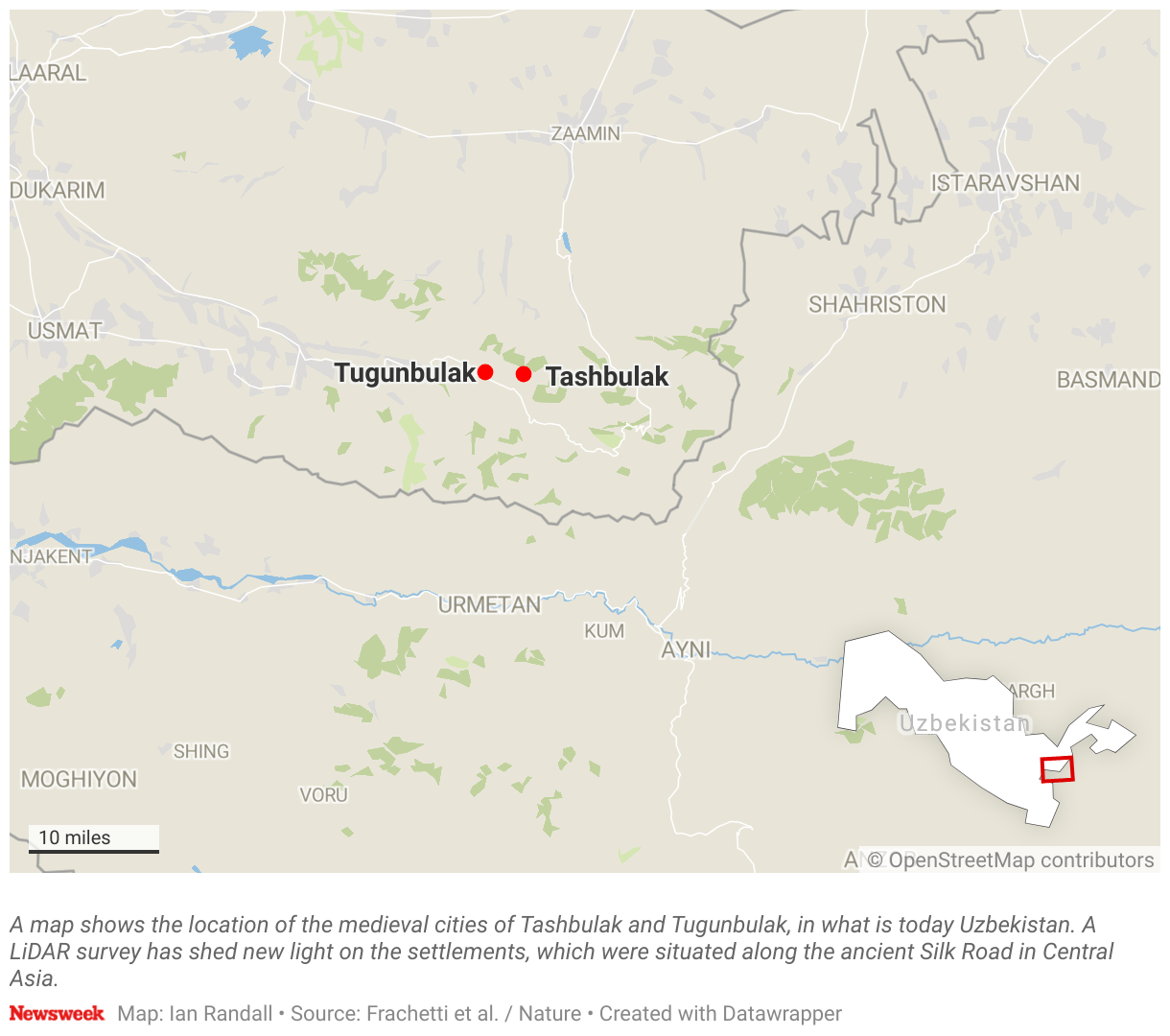
The survey, detailed in a study published in the journal Nature, focused on a pair of archaeological sites known as Tashbulak and Tugunbulak, which are located around three miles apart in the mountains of Uzbekistan, a nation in Central Asia. The settlements were discovered in 2011 and 2015, respectively.
But the latest study, which employed a remote sensing technique known as LiDAR that can reveal hidden archaeological features in a landscape, has revealed fascinating new insights about the high-altitude sites.
“The LiDAR results indicate that the scale of urbanization in this area was much more expansive than previously known,” Zachary Silvia told Newsweek. He is a researcher at Brown University who was not involved in the study but has written a News & Views article about the findings for Nature.

J. Berner, M. Frachetti/SAIElab
The latest research suggests that Tashbulak and Tugunbulak eventually came to form one large “urban constellation.” The former, which is the smaller of the two settlements, is dated to around the eighth to 11th centuries. The latter appears to have been occupied from the sixth to 11th centuries.
“By the time Tashbulak gets going, I envision these cities as interconnected, thus part of a wider urban network,” Michael Frachetti of Washington University, lead author of the latest study, told Newsweek.
The revelation of such a major urban center at such a high altitude is unusual given the challenges of construction and farming. The medieval settlements are situated at around 2,000 to 2,200 meters (6,562 to 7,218 feet) above sea level.
“The possibility of such a large city situated 2,000 to 2,200 meters above sea level is rare in global archaeology,” Silvia said.
“Today, only 3 percent of the world’s population lives above that level and rarely in urban contexts,” he continued. “This is the first—and probably only—ancient or medieval city located at this elevation in Central Asia, which forces us to reconsider what we know about urbanization in the area.”
Silvia went on: “Typically, urbanization happens along reliable rivers to support urban infrastructure necessary to sustain a large population—for agriculture, sanitation, industry. Tashbulak and Tugunbulak would have required an immense amount of resources to sustain life at that altitude and with that a well-coordinated bureaucracy that could mobilize people to support the community.”
Before the latest study, experts were already aware of many urban features at the Tashbulak site, which the authors of the latest study had been excavating for several years.
In 2015, evidence of a settlement was uncovered at Tugunbulak, although the extent of the site was not realized until the team conducted its LiDAR survey.
LIDAR is a remote sensing method that involves the use of laser pulses fired at the ground to generate 3D models of a given landscape. This method can map the topography of the land while also revealing hidden man-made features that may not typically be visible to the naked eye.
Frachetti and his colleagues conducted LiDAR flights over Tashbulak and Tugunbulak, revealing more than 300 archaeological structures—varying significantly in size—in the latter alone. These features include watchtowers connected with walls along a ridgeline, evidence of terracing, and a central fortress surrounded by walls made of stone and mud brick. Nearly all of these features at Tugunbulak were previously undocumented, Frachetti told Newsweek.
The survey also revealed that Tugunbulak occupies an area of approximately 120 hectares, while Tashbulak covers around 12 to 15 hectares.
“What the LiDAR revealed is that the dense urban fabric actually extends to an adjacent area—Tugunbulak, an additional 120 hectares—that was previously unknown entirely, to my knowledge,” Silvia said.
Whereas it was previously thought that Tashbulak was a large trading town nestled in the mountains, “we are now confronted with the possibility that this urban constellation reflects a major node along the medieval ‘Silk Roads,'” Silvia said.
The Silk Road was an ancient network of trade routes that connected the East and West, spanning from China to the Mediterranean. It played a crucial role in facilitating not only the exchange of goods but also the transfer of culture, knowledge, technology, religion and art between different civilizations. Asia’s Silk Road was active throughout the medieval period, with Tashbulak and Tugunbulak situated along the mountainous crossroads of these routes.
Silvia said it should be noted that LiDAR produces a “palimpsest effect”—where archaeological features are superimposed on top of one another.
“It does not necessarily account for time. How long did the settlement take to build to its maximum extent? Were all of the documented features actually contemporary? Are there more modern subsurface features unrelated to the archaeological data that have been swept up in the analysis?” Silvia asked.
He continued: “Typically, remote sensing techniques are one tool within the broader tool kit of the archaeologist. The next step for the team would be to confirm their findings through geophysics—techniques that ‘see’ below the surface—and targeted excavations that can confirm whether or not this is indeed such an extensive settlement. I am optimistic that this is precisely what the team will find in the coming years.”
Do you have a tip on a science story that Newsweek should be covering? Do you have a question about archaeology? Let us know via [email protected].
Reference
Frachetti, M. D., Berner, J., Liu, X., Henry, E. R., Maksudov, F., & Ju, T. (2024). Large-scale medieval urbanism traced by UAV–lidar in highland Central Asia. Nature. https://doi.org/10.1038/s41586-024-08086-5